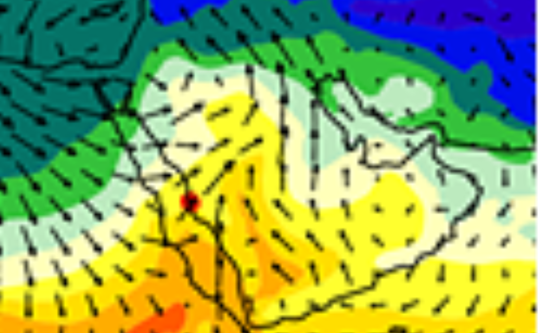
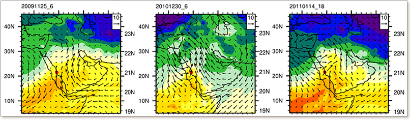
This work is in cooperation with WDRC and EnSE. We use regional model WRF to understand and predict meteorological condition that cause extreme precipitation. Pictures on the left show wind vectors, surface air temperature, specific humidity, and total water vapor for three recent extreme precipitation events in Jeddah in 2009, 2010, and 2011. On the right is the digital elevation map with 30-m resolution showing drainage basins and wadies in the Jeddah-Thuwal region. The rain precipitated at the slope of the mountains will be rooted by wadi system to the coastal regions where the most of population resides.